Blackpool weather forecast: Resort set to be hit by thunderstorms and rain this August bank holiday weekend
and live on Freeview channel 276
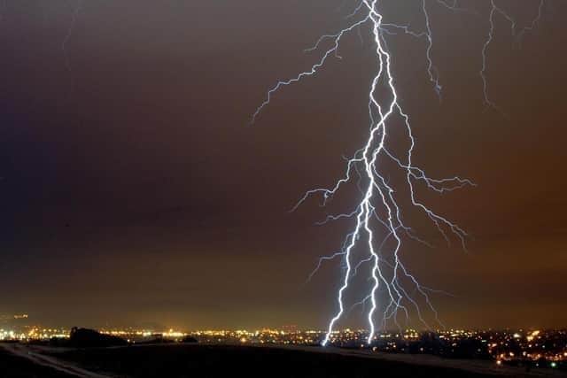
Thunderstorms and heavy rain are predicted to hit the resort on Saturday (August 26), with temperatures reaching 18C.
Sunday (August 27) is set to be a much drier day, with light rain showers predicted at 1pm and the mercury reaching around 17C.
Advertisement
Hide AdAdvertisement
Hide AdMillions of people across the country are expected to have leisure trips planned between Friday and Monday, the last bank holiday in England, Wales and Northern Ireland until Christmas.
Met Office spokesman Grahame Madge said: “Although by and large we’ll see quite bright spells, there will be over the weekend some showers that will come in and some of those could be quite heavy and intense in certain locations.”

Intermittent showers could develop “pretty much anywhere” across the UK on Saturday after initially building in the west, with a similar pattern also developing into Sunday.
Mr Madge said: “There is a weather front which will be approaching from the west and coming across the UK (on Sunday) but that front will be weakening all the time, so it will start to bring in rain to parts of Northern Ireland and western Scotland quite early on the Sunday morning.

Advertisement
Hide AdAdvertisement
Hide Ad“But then by the time it starts to get across the rest of the country, the influence of that will start to weaken.
“The arrival of that front could trigger some thunderstorms down the western side of England and in the West Midlands, but as we go through into Monday that system will broadly fizzle out.”
Monday will have brighter spells with some less intense showers, whilst the humidity will be a lot fresher, especially overnight.
Temperatures are expected to come down to around average, with some rural areas forecast to drop into single figures, the Met Office added.
Here is the weather forecast:
Saturday (August 26)
Thunder changing to partly cloudy by nighttime.
Highs of 18C and lows of 13C.
Sunday (August 27)
A cloudy day with thunderstorms predicted at 4am.
Highs of 17C and lows of 14C.
Monday (August 28)
Cloudy changing to sunny intervals by late morning.
Highs of 17C and lows of 14C.
Tuesday (August 29)
Cloudy changing to light showers by early evening.
Highs of 17C and lows of 17C.
Wednesday (August 30)
Sunny intervals changing to cloudy in the afternoon.
Highs of 16C and lows of 13C.
Thursday (August 31)
Cloudy changing to sunny intervals in the afternoon.
Highs of 18C and lows of 13C.